Welcome to the Geogambi Surveys Services page, your gateway to a comprehensive suite of professional surveying solutions across Kenya. With a commitment to precision and accuracy, we cater to the diverse needs of business, real estate, land development, and civil engineering sectors. Explore our detailed offerings, from advanced land surveying and precise mapping to crucial data acquisition and analysis. Discover how our expertise and dedication can provide the reliable foundation you need for successful projects throughout Kenya.
Projects
0+
Years of Experience
0
Happy Clients
0
Quality Certificates
0
Cadastral Survey
Geogambi Surveys provides precise boundary demarcation and land subdivision services. We accurately define property lines for registration, transfer, and dispute resolution, ensuring clarity and security of land ownership.
Engineering Survey
We offer comprehensive surveying support for all phases of engineering projects. This includes site layout, as-built surveys, deformation monitoring, and precise measurements crucial for the successful planning, construction, and maintenance of infrastructure.
Topographical Survey
Geogambi Surveys delivers detailed mapping of natural and man-made features. Our topographical surveys provide essential data for planning, design, and development, including contour lines, elevations, and the location of existing infrastructure.
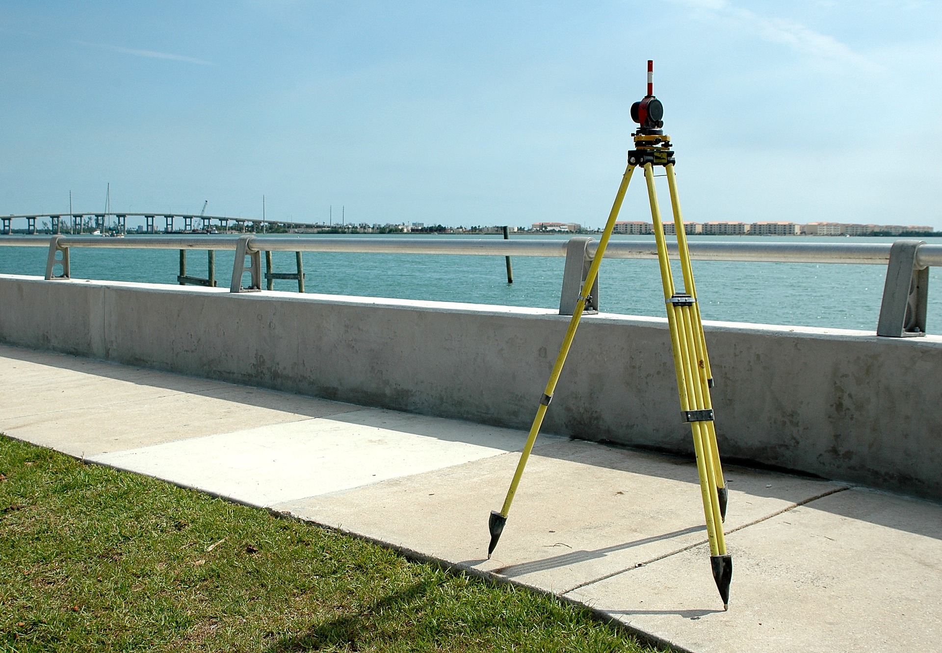
Selling and Servicing Survey Machines
Geogambi Surveys is a trusted supplier of high-quality surveying equipment. We also provide expert servicing, maintenance, and calibration to ensure your instruments operate accurately and reliably, maximizing your efficiency.
Professional Land Surveying And Mapping
Geogambi Surveys delivers comprehensive surveying solutions tailored to the diverse needs of business, real estate, land development, and civil engineering projects across the nation.