Cadastral Survey
Precision on the Ground. Clarity for Your Vision.
What we offer
At Geogambi Surveys Ltd we provide precise and legally binding cadastral surveying services to establish, define and map property boundaries.
Whether you are buying land, resolving a boundary dispute, or preparing for a new development, our expert team ensures your land assets are accurately documented in full compliance with national land laws and registration standards.
A cadastral survey is the foundational blueprint of property ownership. We combine advanced surveying technology with rigorous land registry research to deliver absolute certainty and peace of mind for your real estate investments.
Our Cadastral Survey Services Include
Boundary Re-establishment & Beaconing
Locating and marking lost or hidden property corners to establish your exact land limits on the ground.
Land Subdivision & Amalgamations
Splitting a single parcel into multiple plots for sale or development, or combining adjacent parcels into a single title.
Title Surveys & Mutation Preparation
Preparing the essential mutation forms and survey plans required by the land registry to amend or issue new title deeds.
Sectional Properties & Structural Surveys
Mapping individual units within high-rise buildings or shared estates for the issuance of sectional titles.
Boundary Dispute Resolution
Providing independent, highly accurate survey data to help resolve land ownership conflicts professionally and legally.
Encroachment & Extent Verification
Confirming whether structures, fences or developments fall within the registered extent of your parcel.
Our Step-by-Step Process
Navigating land registration can feel overwhelming. We handle the heavy lifting through a structured, transparent process to ensure your survey is legally flawless and efficiently executed.
Registry Search & Document Review
Phase 1 – Pre-Analysis
We begin by pulling official survey plans, registry maps, and deed files from the Land Registry. This archival research establishes the historical legal framework and dimensions of your parcel before we ever set foot on the ground.
Fieldwork & Precision Measurement
Phase 2 – On-Site Survey
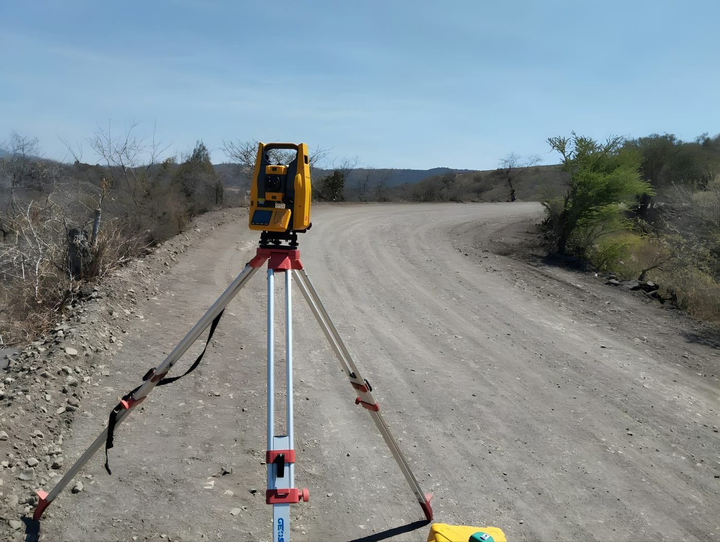
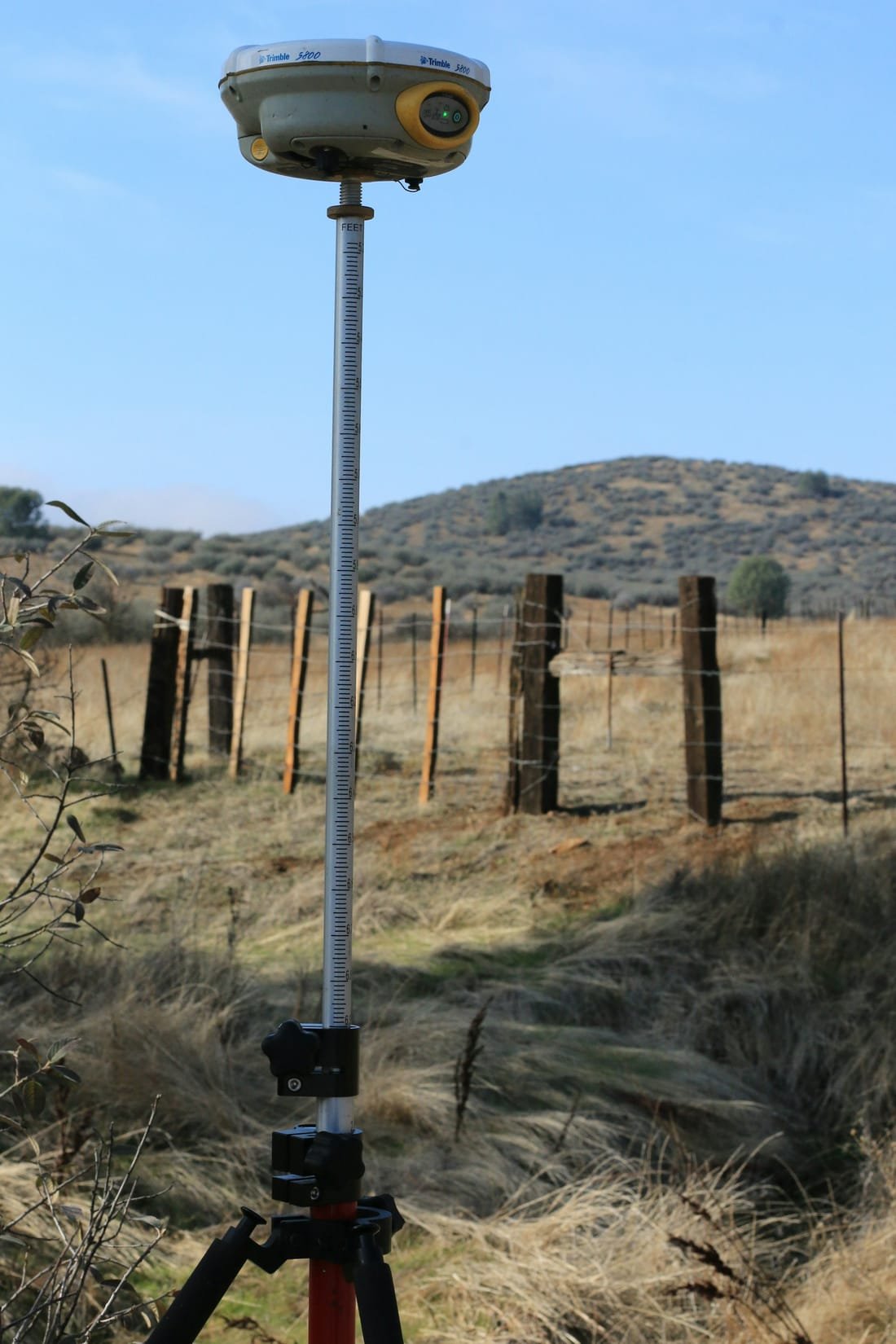
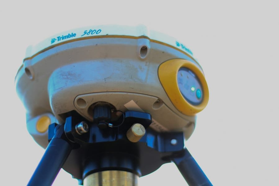
Our survey team visits the property to take highly accurate physical measurements using advanced GNSS satellite positioning and electronic Total Stations. We tie your land's physical features into the national geodetic grid network.
Data Computation & Blueprinting
Phase 3 – Analysis & Drafting
Back at the office, we process the field data against the official registry maps. We calculate precise coordinates, identify any discrepancies or encroachments, and draft the official survey plans or mutation forms.
Monumentation & Beaconing
Phase 4 – Physical Marking
We return to the site to physically establish or confirm your boundaries. Permanent concrete beacons are placed at all major property corners, giving you clear, visible proof of your exact land limits.
Statutory Submission & Approvals
Phase 5 – Statutory Filing
We compile and submit the final survey records, mutation forms, and plans to the relevant government authorities such as the County Survey Office and Director of Surveys for official validation, approval, and amendment of the land registry records.
Why Us
Why Partner with Geogambi Surveys Ltd?
A survey is only worth what it can support — a title that registers, a boundary that holds, a build that starts on time. That is the standard behind every mark we set.
Legal Compliance
We ensure all surveys strictly adhere to statutory land guidelines, smoothing the way for seamless approvals at government levels.
Millimeter Accuracy
Utilizing state-of-the-art technology, we eliminate guesswork and human error from your property lines.
End-to-End Support
From initial archival registry searches to the final placement of beacons and submission of documentation, we handle the technical complexities so you don’t have to.
Ready To Start Your Survey Project?
Secure your boundaries today. Protecting your land investment starts with an accurate survey. Contact Geogambi Surveys Ltd to schedule your cadastral survey or speak with our professional survey team about your project requirements.
Reviews
Voices of Satisfaction From Our Client
“The land survey team provided exceptional service. Their attention to detail and accuracy were impressive. Highly recommend for any surveying needs!”
John Doe
Client
“The land survey team provided exceptional service. Their attention to detail and accuracy were impressive. Highly recommend for any surveying needs!”
John Doe
Client
“The land survey team provided exceptional service. Their attention to detail and accuracy were impressive. Highly recommend for any surveying needs!”
John Doe
Client
Our Projects