Drone & Aerial Survey
Precision on the Ground. Clarity for Your Vision.
What we offer
Geogambi Surveys uses unmanned aerial systems to survey sites that are large, steep, overgrown or otherwise slow and hazardous to cover on foot. A flight that takes a morning can replace days of ground traverse, and returns far denser data than a walked survey ever could.
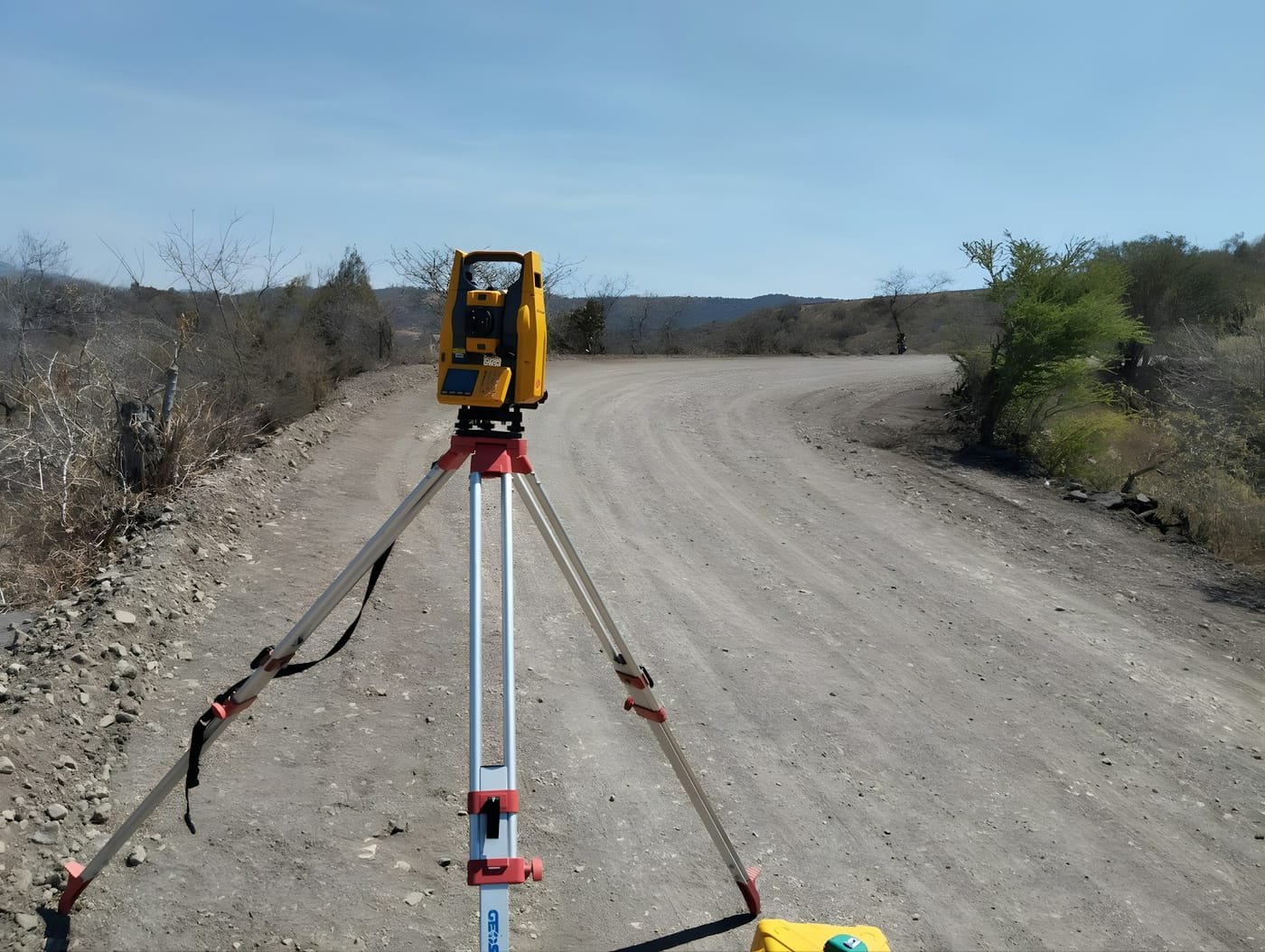
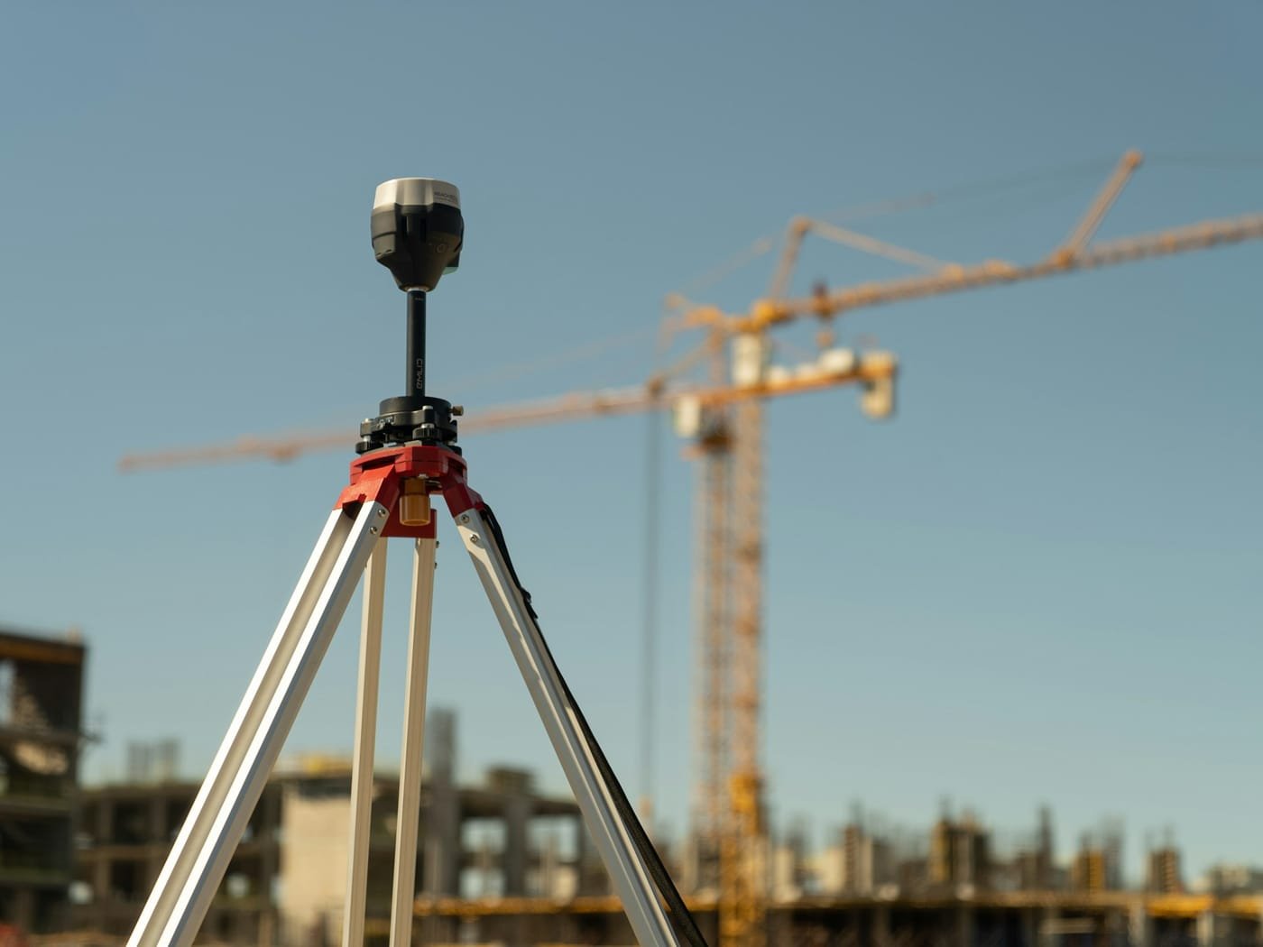
Aerial capture is a survey method, not a photography exercise. Every flight is tied to ground control observed with GNSS, so the imagery, terrain model and volumes we deliver sit correctly on the national grid and carry a stated, verifiable accuracy.
The output suits developers scoping a new site, contractors reconciling earthworks volumes, and design teams who need a current base map rather than a dated one. Where a project needs both breadth and legal certainty, we combine aerial capture with ground survey — the drone covers the extent, the ground crew fixes the boundaries and critical detail.
Our Drone & Aerial Survey Services Include
Aerial Mapping & Orthomosaics
A single seamless, georeferenced and scaled aerial image of your whole site, ready to measure from or drop straight into CAD and GIS.
Photogrammetric Topographic Survey
Dense point clouds, terrain and surface models, and contours generated from overlapping aerial imagery for design and planning work.
Volumetric & Stockpile Surveys
Accurate cut-and-fill quantities, quarry and stockpile volumes computed from surface comparisons — ideal for reconciling earthworks and material claims.
Construction Progress Monitoring
Repeat flights on a fixed schedule build a dated visual and measurable record of how a site changes across the life of a project.
Corridor & Linear Asset Mapping
Efficient capture along roads, pipelines, transmission lines and river courses, where walking the full route on foot is slow or unsafe.
3D Models & Digital Twins
Textured 3D meshes and point-cloud models for visualisation, stakeholder presentation, and inspection of roofs, façades and structures that are hard to reach.
How an Aerial Survey Runs
Aerial work answers to the airspace regulator as well as to the survey brief. We plan the flight, secure the clearances and tie the imagery to ground control so the output is a measurable survey product, not just a photograph.
Site Assessment & Flight Planning
Phase 1 – Planning
We review the site extent, terrain and required accuracy, then design the flight — altitude, overlap and ground sample distance are all set by what the deliverable has to support, whether that is a visual record or a survey-grade terrain model.
Airspace & Regulatory Approval
Phase 2 – Clearance
Before anything flies we confirm the airspace status of the site and obtain the permissions the operation requires. Proximity to aerodromes, restricted zones and populated areas all change what is permitted, and we resolve this ahead of mobilisation rather than on the day.
Ground Control & Site Setup
Phase 3 – Ground Control
We establish and observe ground control points across the site with GNSS, tying the aerial data into the national grid. Ground control is what turns imagery into a survey — without it, the model has shape but no dependable position or scale.
Aerial Data Capture
Phase 4 – Flight
The planned mission is flown, capturing overlapping imagery across the full extent. We check coverage, exposure and image quality on site so any gap is re-flown while the crew is still mobilised.
Photogrammetric Processing
Phase 5 – Processing
The imagery is processed into a dense point cloud, digital surface and terrain models, and a corrected orthomosaic. Control points are used to constrain the solution, and the residuals at those points give us a measured check on the accuracy achieved.
Deliverables & Accuracy Report
Phase 6 – Delivery
You receive the outputs in the formats your team actually works in — CAD, GIS, point cloud or PDF plan — together with a short report stating the datum, projection and accuracy achieved, so the data can be relied on downstream.
Why Us
Why Partner with Geogambi Surveys Ltd?
A survey is only worth what it can support — a title that registers, a boundary that holds, a build that starts on time. That is the standard behind every mark we set.
Legal Compliance
We ensure all surveys strictly adhere to statutory land guidelines, smoothing the way for seamless approvals at government levels.
Millimeter Accuracy
Utilizing state-of-the-art technology, we eliminate guesswork and human error from your property lines.
End-to-End Support
From initial archival registry searches to the final placement of beacons and submission of documentation, we handle the technical complexities so you don’t have to.
Ready To Start Your Survey Project?
Secure your boundaries today. Protecting your land investment starts with an accurate survey. Contact Geogambi Surveys Ltd to schedule your cadastral survey or speak with our professional survey team about your project requirements.
Reviews
Voices of Satisfaction From Our Client
“The land survey team provided exceptional service. Their attention to detail and accuracy were impressive. Highly recommend for any surveying needs!”
John Doe
Client
“The land survey team provided exceptional service. Their attention to detail and accuracy were impressive. Highly recommend for any surveying needs!”
John Doe
Client
“The land survey team provided exceptional service. Their attention to detail and accuracy were impressive. Highly recommend for any surveying needs!”
John Doe
Client
Our Projects