Engineering Survey
Precision on the Ground. Clarity for Your Vision.
What we offer
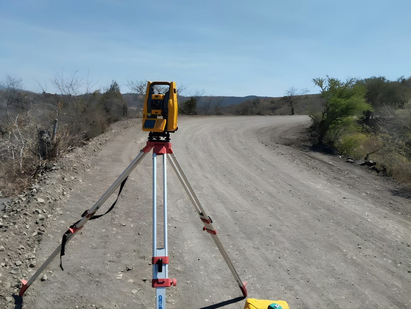
Geogambi Surveys provides the positional control that construction depends on. We set out the design on the ground, hold the site to a single consistent reference framework, and verify that what is built matches what was approved.
Our engineering survey work spans buildings, roads, water and drainage infrastructure, and industrial installations. We work to the tolerance the element requires — a structural grid line and a landscaping edge do not need the same precision, and pricing the difference correctly keeps a project economical.
The value of the work is mostly in what it prevents. Deviations found during construction are adjustments; the same deviations found at handover are rectification, delay and dispute. We check continuously so that discussion never starts.
Our Engineering Survey Services Include
Setting Out & Construction Stakeout
Marking the exact position of foundations, columns, roads, drainage and structures on site so the works are built where the design places them.
Control Network Establishment
Setting permanent survey control and benchmarks across the site, tied to the national grid, giving every trade a single consistent reference to work from.
As-Built & Verification Surveys
Recording the true position and level of completed works, and reporting any deviation from design tolerance while it can still be corrected.
Earthworks & Volume Measurement
Pre- and post-construction surfaces surveyed and compared to compute cut, fill and haul quantities for progress valuation and payment certification.
Route & Corridor Surveys
Alignment, cross-section and profile surveys along roads, pipelines, drainage and transmission routes to support design and construction.
Deformation & Movement Monitoring
Repeat precise observations on structures, slopes, excavations and retaining works to detect settlement or movement early.
Our Step-by-Step Process
Construction errors are expensive to discover late. We work alongside your project team from control establishment through to handover, checking position continuously rather than only at the end.
Drawing Review & Data Handover
Phase 1 – Design Review
We take the design drawings, coordinate schedules and specifications, and check them for internal consistency before any work starts. Conflicts between drawings, missing levels or an ambiguous datum are far cheaper to resolve on paper than on site.
Site Control & Benchmark Establishment
Phase 2 – Control
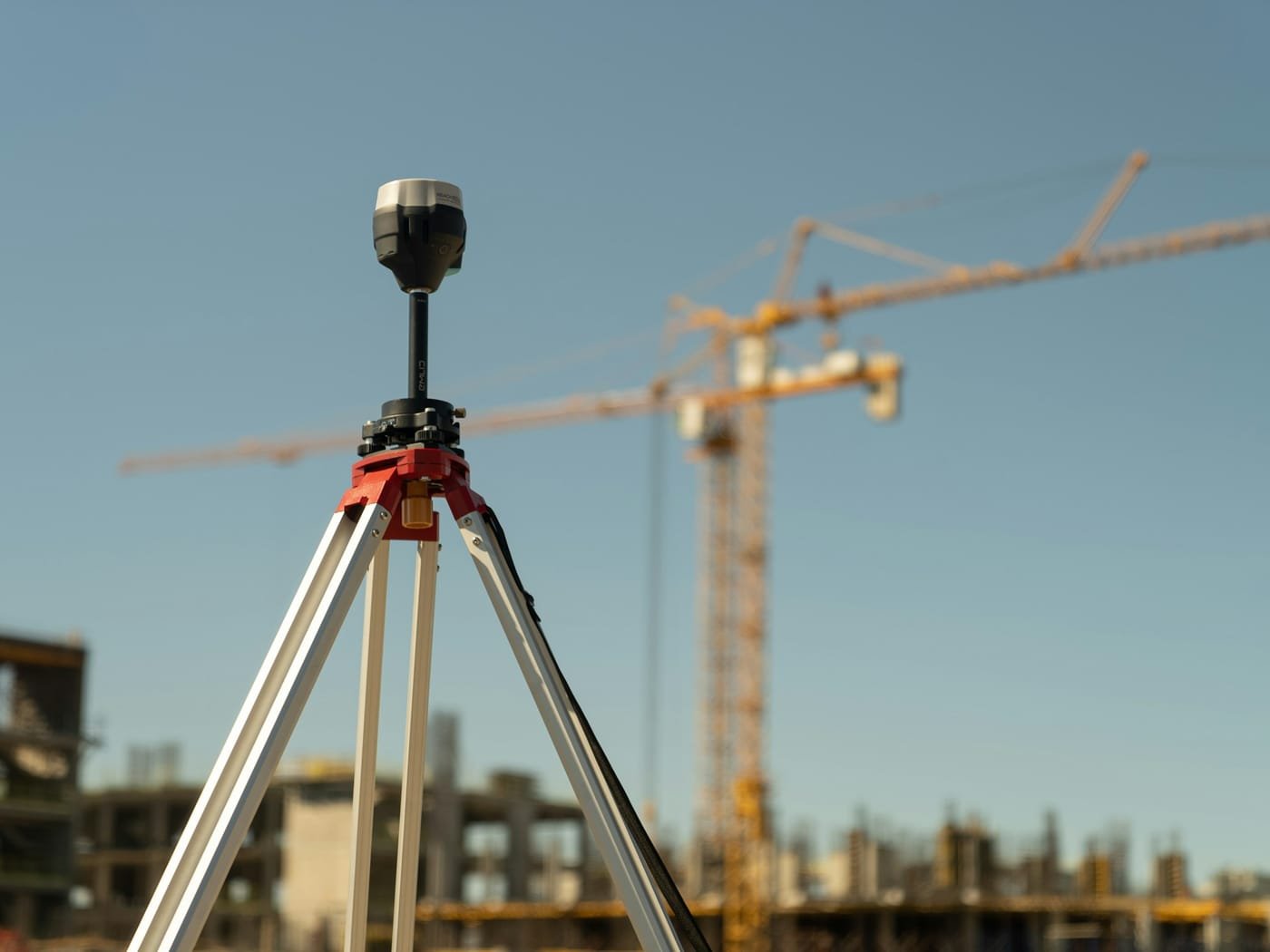
We establish a network of permanent control stations and level benchmarks across the site, observed with GNSS and total station and tied into the national grid. Every subsequent setting-out operation refers to this network, which is what keeps separate trades and phases in agreement.
Setting Out on the Ground
Phase 3 – Setting Out
Design positions are transferred to the ground and physically marked — grid lines, foundation corners, road centrelines, invert levels and structural offsets — with the accuracy the element demands.
Progressive Checks & Monitoring
Phase 4 – Verification
As construction proceeds we re-check positions and levels at agreed stages. Catching a column or an invert level out of tolerance at the pour stage costs a morning; catching it at handover can cost a floor.
As-Built Capture & Handover Records
Phase 5 – As-Built
On completion we survey the works as actually constructed and issue as-built drawings and coordinate schedules. These records support certification, inform future maintenance, and document the position of services that are about to be buried.
Why Us
Why Partner with Geogambi Surveys Ltd?
A survey is only worth what it can support — a title that registers, a boundary that holds, a build that starts on time. That is the standard behind every mark we set.
Legal Compliance
We ensure all surveys strictly adhere to statutory land guidelines, smoothing the way for seamless approvals at government levels.
Millimeter Accuracy
Utilizing state-of-the-art technology, we eliminate guesswork and human error from your property lines.
End-to-End Support
From initial archival registry searches to the final placement of beacons and submission of documentation, we handle the technical complexities so you don’t have to.
Ready To Start Your Survey Project?
Secure your boundaries today. Protecting your land investment starts with an accurate survey. Contact Geogambi Surveys Ltd to schedule your cadastral survey or speak with our professional survey team about your project requirements.
Reviews
Voices of Satisfaction From Our Client
“The land survey team provided exceptional service. Their attention to detail and accuracy were impressive. Highly recommend for any surveying needs!”
John Doe
Client
“The land survey team provided exceptional service. Their attention to detail and accuracy were impressive. Highly recommend for any surveying needs!”
John Doe
Client
“The land survey team provided exceptional service. Their attention to detail and accuracy were impressive. Highly recommend for any surveying needs!”
John Doe
Client
Our Projects