Topographical Survey
Precision on the Ground. Clarity for Your Vision.
What we offer
A topographical survey is the factual record of a site as it exists today — its levels, its slopes, its structures and its constraints. Every design decision that follows rests on it being right.
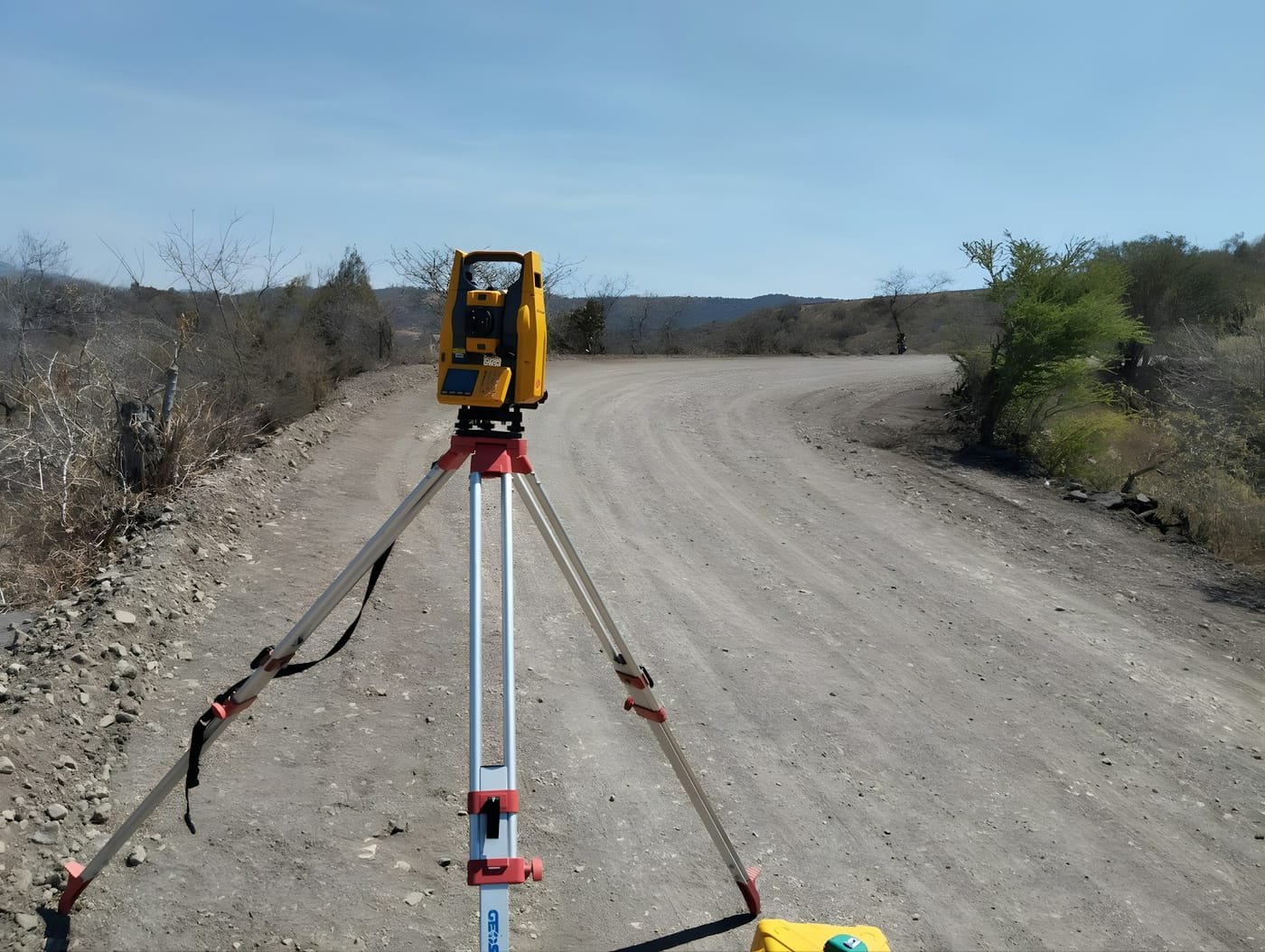
Geogambi Surveys captures that record with total station and GNSS observation tied to the national grid, and delivers it as a layered, correctly scaled base plan that your design team can work on immediately rather than rebuild.
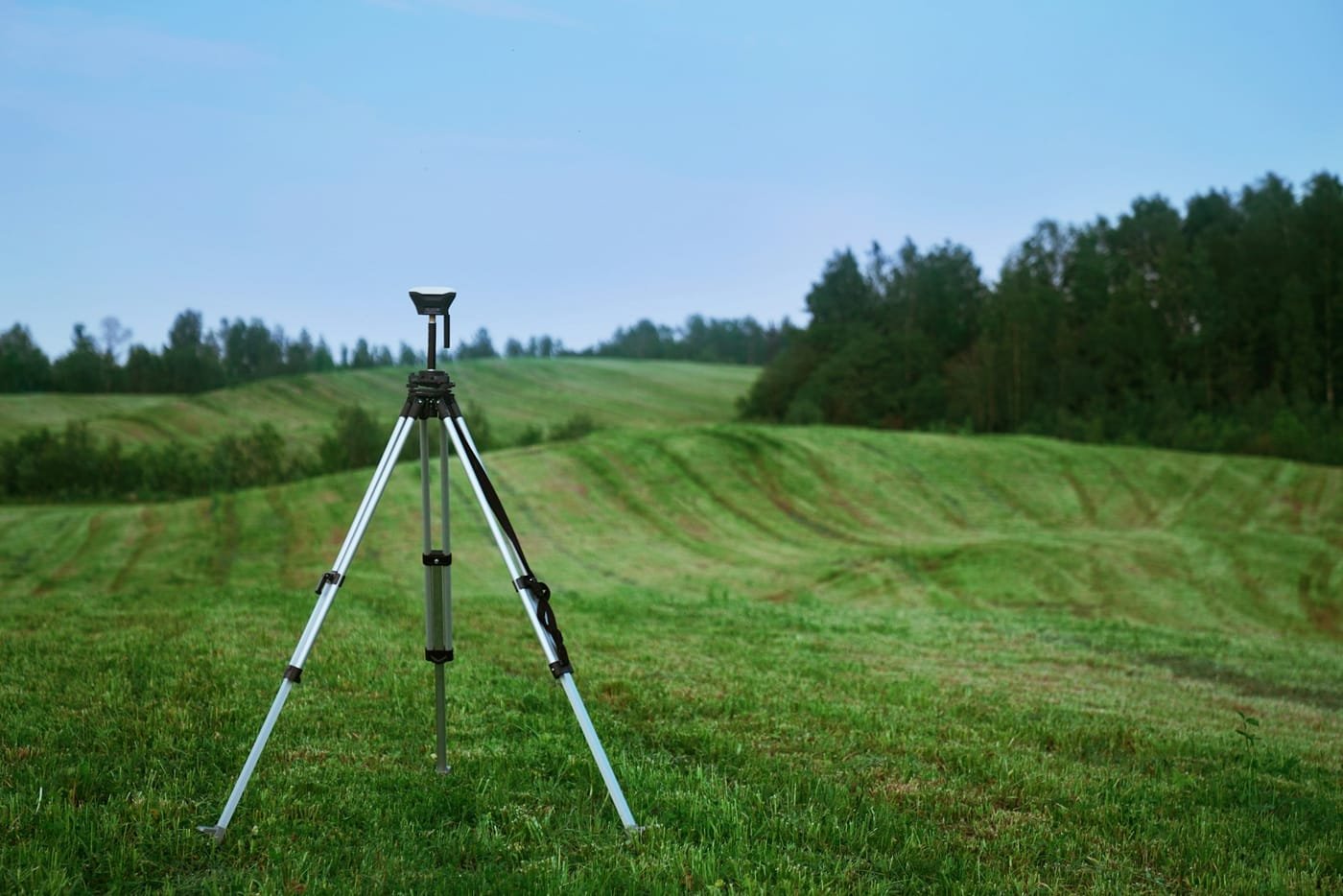
We size the survey to the project. A small residential plot needs a different detail density from a multi-hectare development, and on larger or more difficult sites we combine ground survey with aerial capture — the drone covers extent efficiently, the ground crew resolves the detail and hard-to-see features that imagery cannot.
Our Topographical Survey Services Include
Detail & Level Surveys
Full measured capture of site features — buildings, boundaries, roads, kerbs, walls, trees and spot levels — as an accurate scaled base plan.
Contour Mapping & Terrain Models
Contours and digital terrain models at the interval your design requires, describing the shape of the ground for drainage, earthworks and siting decisions.
Utility & Service Location
Mapping visible service infrastructure — manholes, chambers, poles, hydrants and invert levels — so design avoids what is already in the ground.
Cross-Sections & Longitudinal Profiles
Sections and profiles along and across a route or site, supplying the input data for road, drainage and pipeline design.
Site Feature & Vegetation Mapping
Recording tree positions, canopy spread, watercourses and other constraints that shape what can be built and where.
GIS-Ready & CAD Deliverables
Data supplied on a correctly layered structure in the CAD or GIS format your design team uses, rather than a drawing that has to be rebuilt before it is usable.
Our Step-by-Step Process
A design is only as reliable as the ground data beneath it. We agree the scope and datum before mobilising, capture the detail your discipline actually needs, and deliver it in the format your design team already works in.
Brief, Extent & Datum Agreement
Phase 1 – Scoping
We agree what has to be captured, to what detail, and on which datum and projection before mobilising. A survey delivered on the wrong vertical datum is not a small problem, and specifying detail that the design will never use is money spent for nothing.
Control & Benchmark Establishment
Phase 2 – Control
Survey control stations and level benchmarks are established across the site and connected to the national geodetic network, so the survey is positioned absolutely and can be extended or re-occupied later.
Detail & Level Capture
Phase 3 – Fieldwork
The field team records site features and levels using total station and GNSS, choosing the observation density from the terrain — closely on steep or complex ground, more openly across uniform surfaces.
Data Processing & Drafting
Phase 4 – Drafting
Field data is reduced, checked against control, and drafted into a layered plan with contours, spot levels and annotated features. Field notes and photographs are used to resolve anything ambiguous in the raw data.
Delivery & Design Support
Phase 5 – Delivery
You receive the survey in CAD, GIS and PDF as required, with the datum, projection and survey date clearly stated. We remain available to your design team for queries and to capture additional detail as the design develops.
Why Us
Why Partner with Geogambi Surveys Ltd?
A survey is only worth what it can support — a title that registers, a boundary that holds, a build that starts on time. That is the standard behind every mark we set.
Legal Compliance
We ensure all surveys strictly adhere to statutory land guidelines, smoothing the way for seamless approvals at government levels.
Millimeter Accuracy
Utilizing state-of-the-art technology, we eliminate guesswork and human error from your property lines.
End-to-End Support
From initial archival registry searches to the final placement of beacons and submission of documentation, we handle the technical complexities so you don’t have to.
Ready To Start Your Survey Project?
Secure your boundaries today. Protecting your land investment starts with an accurate survey. Contact Geogambi Surveys Ltd to schedule your cadastral survey or speak with our professional survey team about your project requirements.
Reviews
Voices of Satisfaction From Our Client
“The land survey team provided exceptional service. Their attention to detail and accuracy were impressive. Highly recommend for any surveying needs!”
John Doe
Client
“The land survey team provided exceptional service. Their attention to detail and accuracy were impressive. Highly recommend for any surveying needs!”
John Doe
Client
“The land survey team provided exceptional service. Their attention to detail and accuracy were impressive. Highly recommend for any surveying needs!”
John Doe
Client
Our Projects